
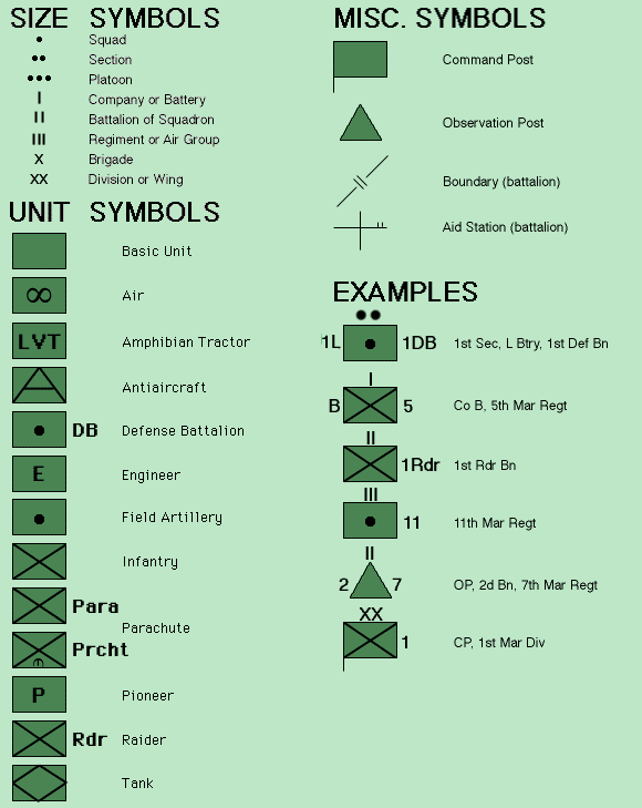
December 22-24, 1944
hill 313
and the
southern shoulder
The Office of The Chief of Military History at the Department of the Army in Washington, DC has several volumes of historical descriptions of the campaigns of WWII including the extremely detailed record of the the battles fought in the Ardennes.
The description of this campaign is found at
https://www.ibiblio.org/hyperwar/USA/USA-E-Ardennes/index.html .
The Battle of Bastogne, otherwise known as The Battle of the Bulge is found at
https://www.ibiblio.org/hyperwar/USA/USA-E-Ardennes/USA-E-Ardennes-19.html .
The XII Corps attack on the area known as the Southern Shoulder is found at
https://www.ibiblio.org/hyperwar/USA/USA-E-Ardennes/USA-E-Ardennes-20.html .
Based on this battle description, Carl was involved in the area overlooking the Echternach bridgehead: Hill 313 southwest of Lauterborn (see maps below) Page 485 to 497 tells this story, especially pages page 496.
By the end of the fighting on December 28, Carl was one of the 899 battle casualties.
Below is an exerpt of that battle description beginning at page 495:
The morning of the 24th broke clear and cold, bringing a mixed blessing. The thermometer stood below 20° F, and the American foot sloggers would suffer (trench foot was commencing to appear), but the gunners and fighter-bomber pilots could rejoice. With two fire direction centers handling the corps artillery and with perfect visibility at the observation posts, the battalions fired salvo after salvo for interdiction and destruction. A few woods and villages got special treatment--TOT's (time on target, or, in other words; a barrage) with white phosphorus, a killing device for which General Patton had built up some attachment among troops of the Third Army. It seemed to the Americans that the good shooting by enemy gunners in the forty-eight hours past required an answer; so counterbattery work began the moment the infantry jumped off in the attack.
During the day and night the XII Corps artillery would fire 21,173 shells to support the attack on a ten-mile front. The 5th Division artillery fired 5,813 rounds, exceeding the daily expenditure during the bitter September battle in the Arnaville bridgehead. General Weyland's XIX Tactical Air Command, old friend of the 5th Division, made good use of beautiful flying weather, but there were many targets to divert the fighter-bombers beyond the XII Corps zone. The 405th Fighter Group flew eight missions during the day, dropping fragmentation and napalm bombs at points along the Sauer, then strafing and bombing the roads east of the river.
At 1100 the ground attack commenced. The 5th Division began the attack with three regiments in line on an 8-mile front reaching from Savelborn on the west to Osweiler on the east. From the line of departure, generally in the rear of the main line of resistance, Irwin would feed his battalions into the 10th Armored line on the left and the 4th Division line on the right, eventually relieving the latter by extending the 5th Division wing, lengthened by the 2d Cavalry Group, to the Sauer. Task forces of the 10th Armored Division were to attack on a northern thrust line, clearing the villages on the south banks of the Sauer as they went.

The main effort by the 5th Division, also looking north, aimed in its early stages at high ground overlooking the Echternach bridgehead: Hill 313 southwest of Lauterborn, the scene of much bitter fighting when first the Germans pushed down the road from Echternach on December 16th and 17th taking Hill 313 and encircling Echternach; the ridge south of Berdorf commanding the Schwarz Erntz gorge; and, in the old 9th Armored sector north of the gorge, the plateau and village of Haller.


On the right of the division the two battalions of the 10th Infantry continued their attack north of Michelshof. For another historical account of this drive see Joe De Madios WWII history blog. Along the thickly wooded ridges to their front the 320th Infantry, supported by most of the 212th Volks Grenadier Division artillery, was concentrated to block the way to Echternach. The 1st Battalion, advancing to the right of the Michelshof-Echternach highway, once again found the combination of heavy woods, Germans in well-disguised foxholes, and accurate shellfire too much as was experienced by the 12th Infantry when Hill 313 was lost the week before. Two hours after the attack began the enemy retaliated with a counterattack, assault guns paving a way for the infantry. The American gunners quickly disposed of this. The 2d Battalion, to the west, had eight medium tanks belonging to the 737th Tank Battalion and less difficult ground. Four tanks and two platoons of Company G started along the main road, covered by other troops advancing on the ridges to either side of the draw. Shell bursts on the road and bullet fire soon drove the troops to the cover of the trees lining the draw, where others of the battalion were ferreting German riflemen out of camouflaged foxholes. Smoke fired to cover the attack gave added momentum; then the tanks destroyed a pair of machine gun nests on Hill 313. Momentarily, however, the attack wavered when a part of Company G turned west toward a hill mass it mistook for its objective. Brought back, the infantry followed the tanks to the proper objective. The Germans there decided not to engage the Shermans, and by dark the 10th Infantry had Hill 313.
This first day of the 5th Division attack had netted rather limited gains except on the extreme left flank and in the 10th Infantry sector at Hill 313. The six American battalions engaged had lost about two hundred dead and wounded. The enemy generally had held the attackers at arm's length (only nineteen prisoners went through the 5th Division cage) and probably had fewer casualties. The German artillery had been very active and effective, despite heavy
Click Maps to Magnify
The map is the battle theater. The upper left of the map is Bastogne where the infamous bulge lay. The Southern Shoulder of the front is found in the lower right. The map below is the enlargement of the area in and around Hill 313. This area was heavily shelled by both American and German forces during the fighting and because of the close proximity of forces, units found themselves receiving incoming artillery from their own cannons, or friendly fire. Carl was wounded by such fire, receiving schrapnel in his lower back from a 105mm round. As a medic, he was probably shielding a wounded soldier with his body during the barrage.

counterbattery fire, while the tortuous nature of the ground had robbed the gunners supporting the 5th Division of much good shooting. But something had been accomplished. The 4th Infantry Division at last had been relieved (although it proved difficult to find and make physical contact with some isolated outposts of the 4th Division line), and Col. Charles H. Reed's 2d Cavalry Group took over the quiet portion of the line on the right of the 5th Division.
At the close of day, there were indications at several points that the enemy was pulling away. A German withdrawal actually did take place during the night.
Losses in the 5th Division totaled 46 officers and 899 men as battle casualties; 22 officers and 598 men were nonbattle casualties--a high ratio but understandable in terms of the continued 20° cold and the footslogging advance through countless icy streams.
The terrain on which the 4th Infantry Division had defended and over which the 5th Infantry Division had attacked proved to be as difficult as any on which military operations were conducted in the course of the Ardennes campaign. For this reason the battle at the south shoulder of the Bulge merits perusal by the student of tactics.
The artillery support furnished the 5th Division, however, had been very effective; German records note it with considerable distaste. As might be expected of this pockmarked and tortuous ground, both sides speak with respect of the enemy's mortars.


American War Memorials commemorates this battle with the plaque shown above.
Credit: USAwarmemorials.org
In my off time, a favorite place for me to visit was the Porta Nigra, the largest Roman city gate north of the Alps. Porta Nigra dates back to 170 AD and once marked the western border of the Roman Empire. I would wonder what ancient battles were fought in the wilderness beyond this gate. Little did I know that my father fought and was wounded some 40 years earlier, a mere 7 km from where I stood. If I stood at Porta Nigra on Christmas Eve, 1944, I would easily have heard the artillery and witnessed the horizon light up from the attack on the Southern Shoulder. One day, I will go back and visit this place, walk among the foxholes on Hill 313 and perhaps join in the Dancing Procession at Echternach.

Porta Nigra "Black Gate"

7 km as the crow flies - 30 km by car


Eau Claire Leader 02.28.45


Capital Times, Madison, WI 02.23.45